It’s been a while, but here I present a few photos of the Aurora Borealis in Portobello, Edinburgh. Hopefully will add more soon.
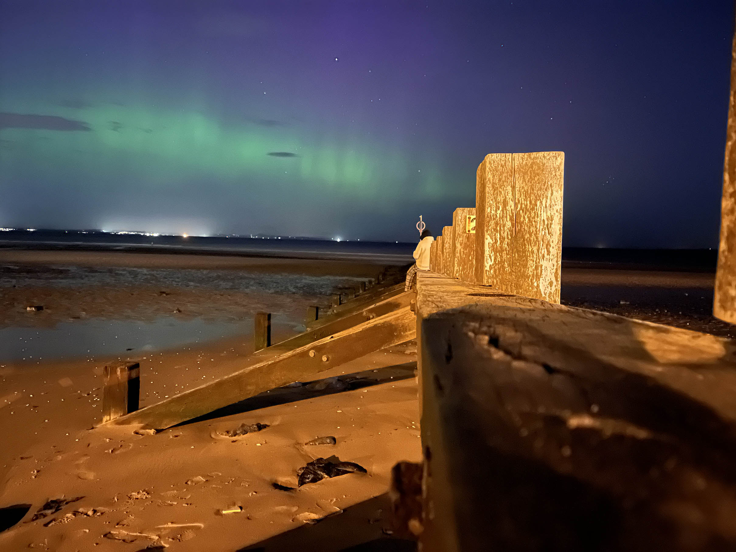
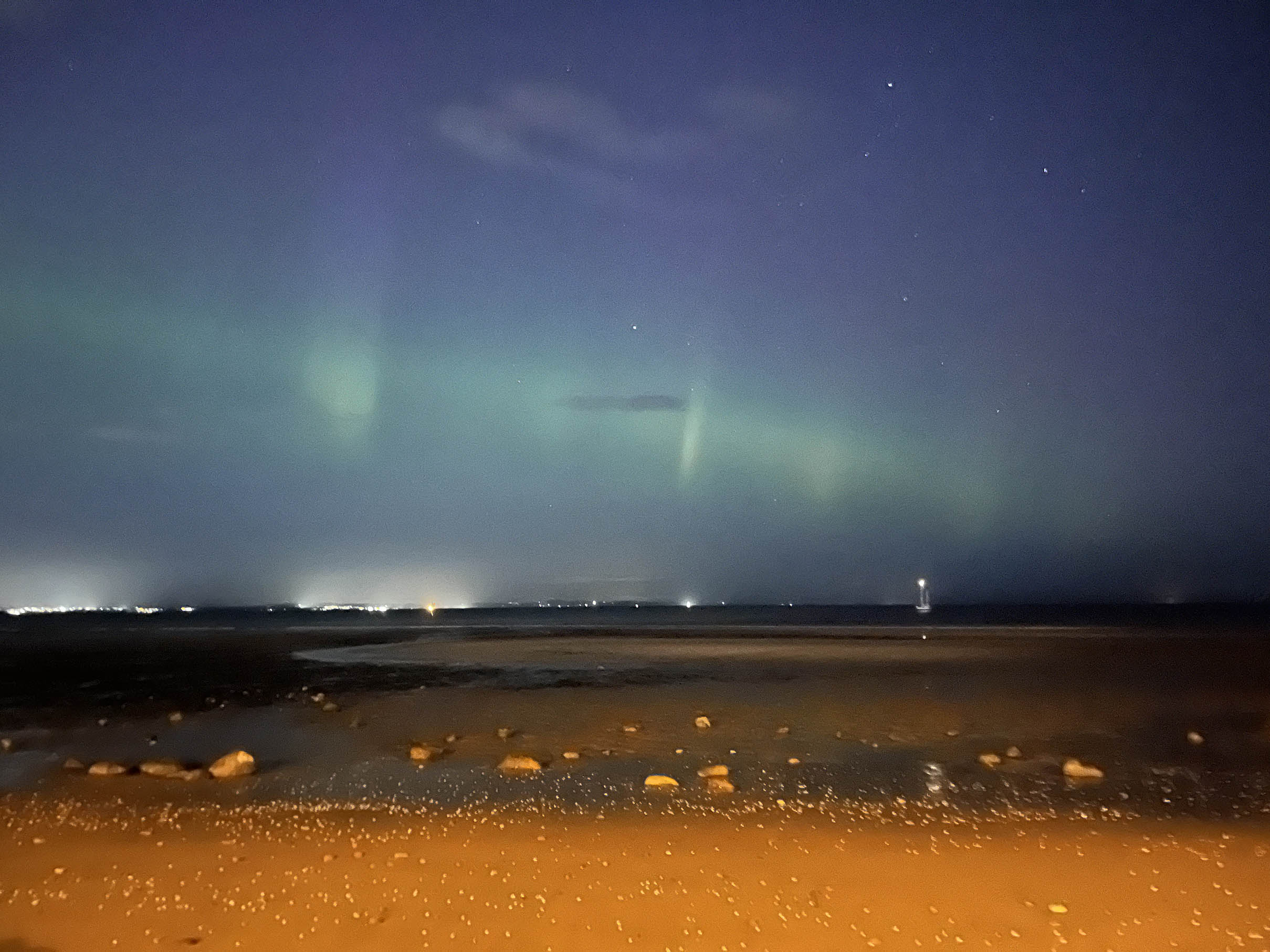
It’s been a while, but here I present a few photos of the Aurora Borealis in Portobello, Edinburgh. Hopefully will add more soon.
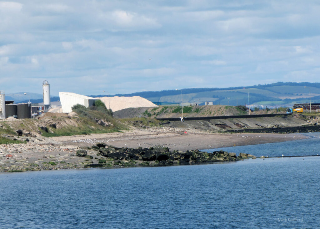
What if i said Leith has a beach?
Above is the little that remains of Leith Sands, a once long strip of beach that had historical significance. Home to horse racing, duels, pirate execution!
Perhaps once vast enough to rival Portobello, Leith Sands all but vanished during the creation of what is Scotland’s largest enclosed deep water port.
It is now inaccessible blocked of last year
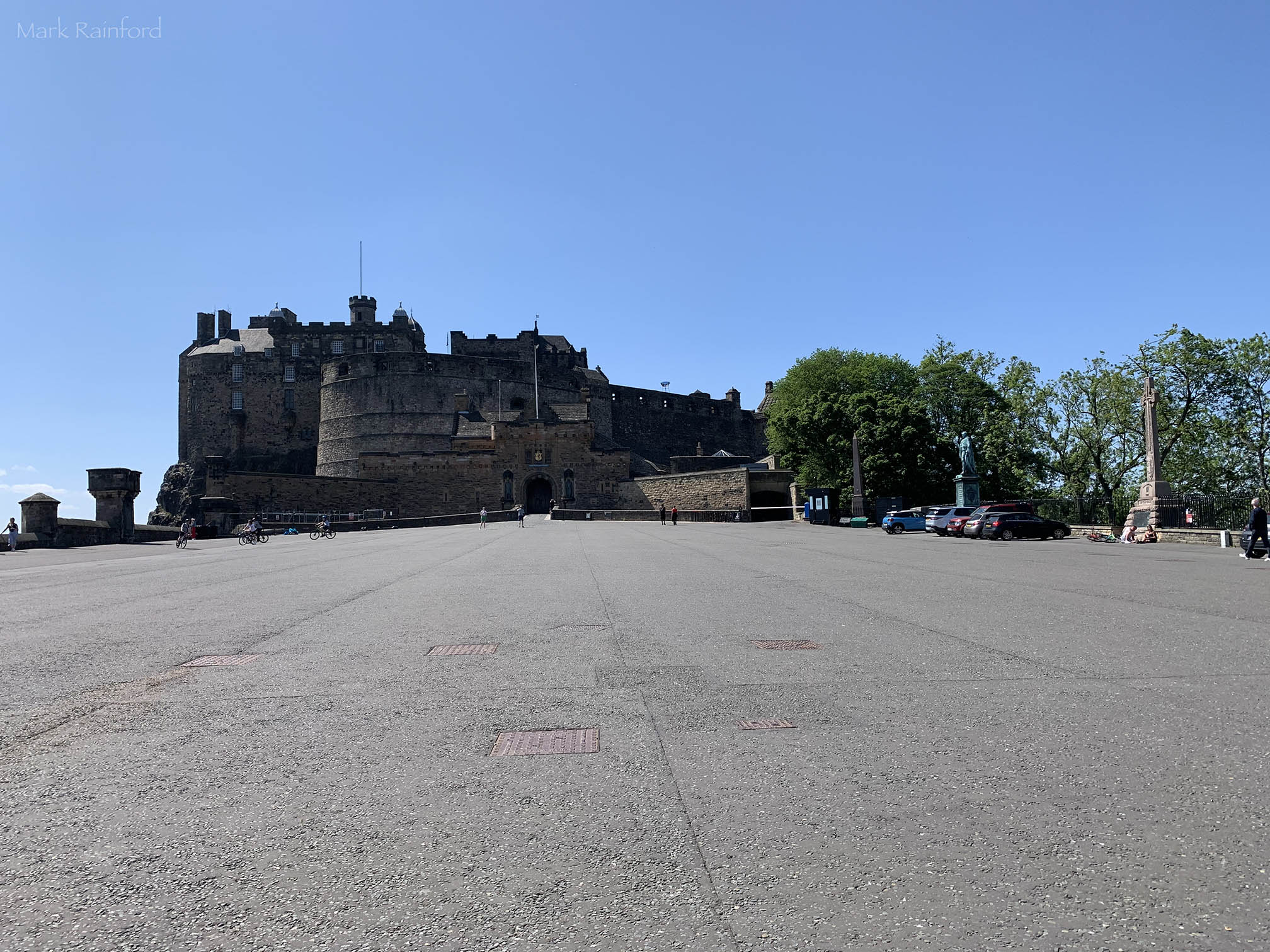
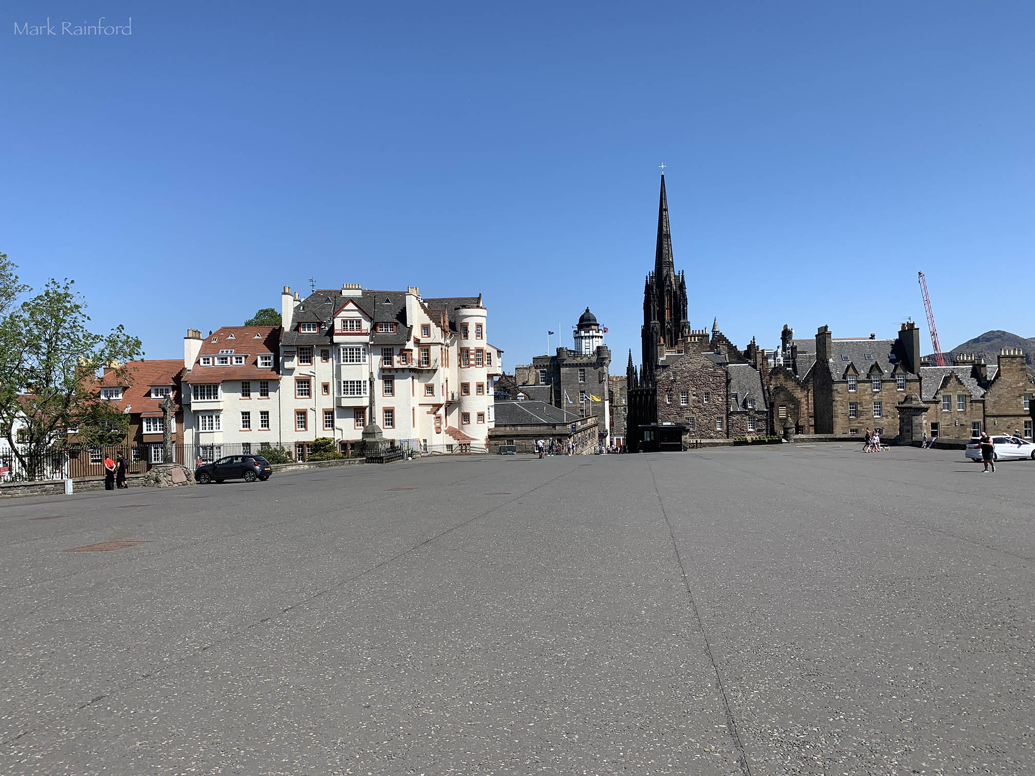
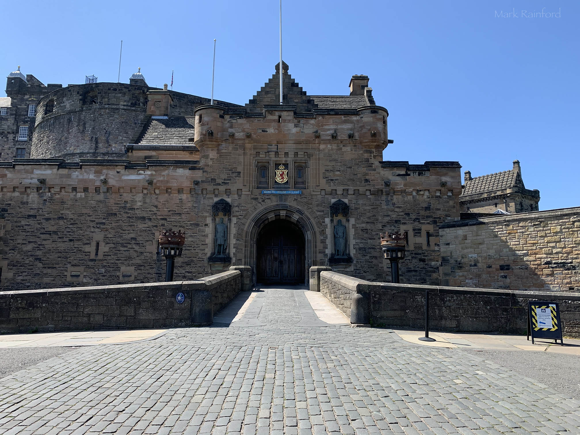
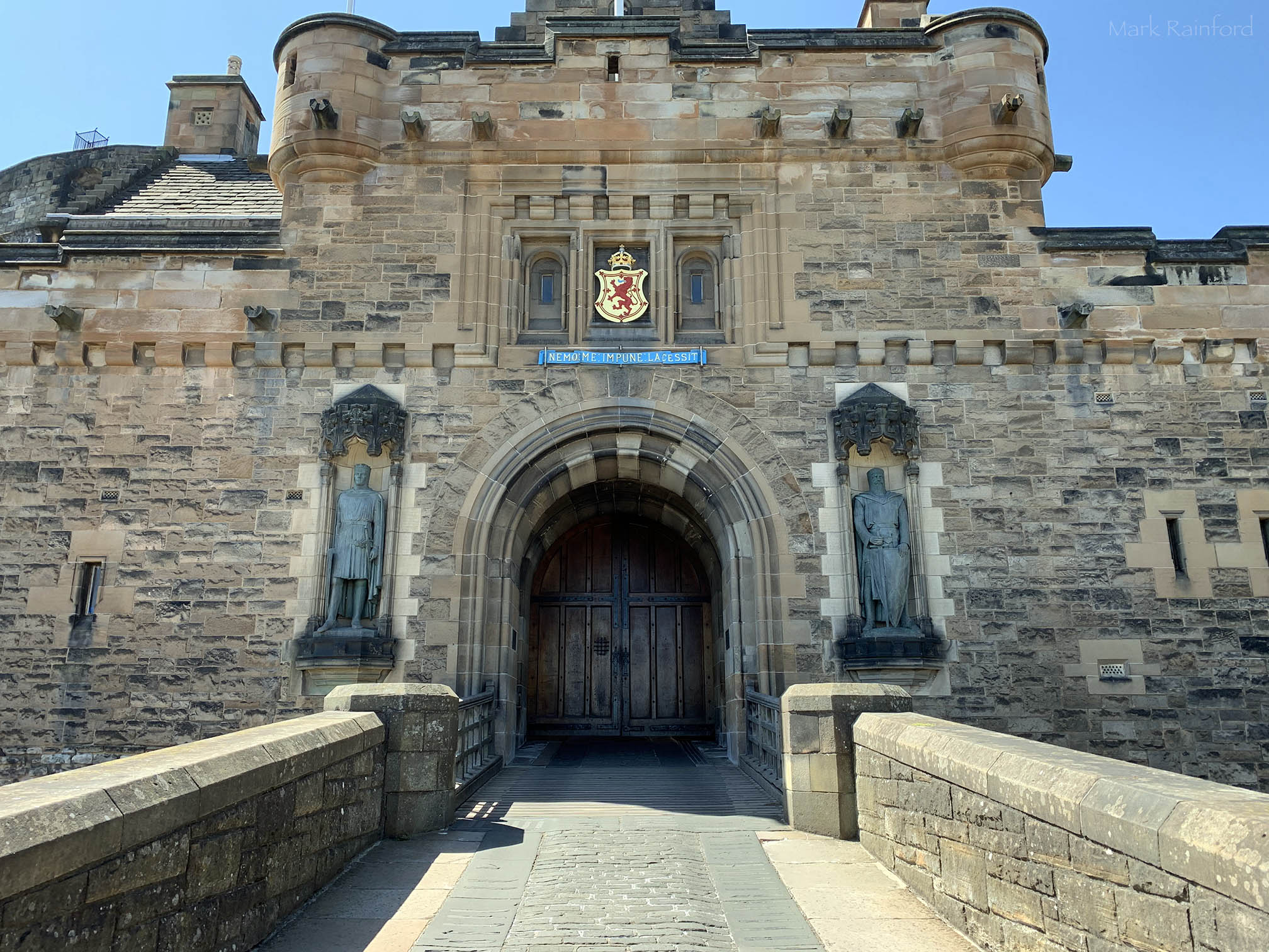
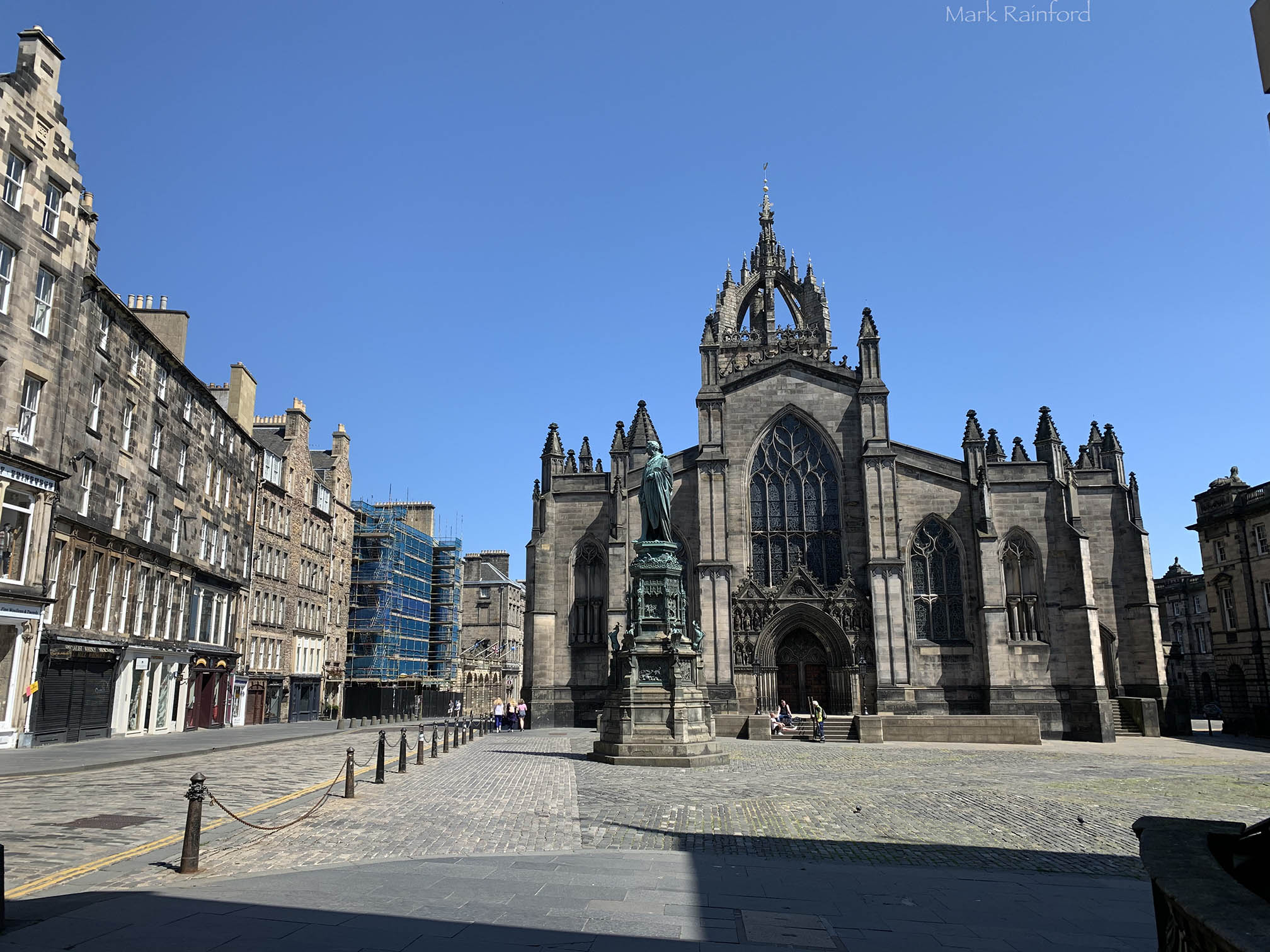
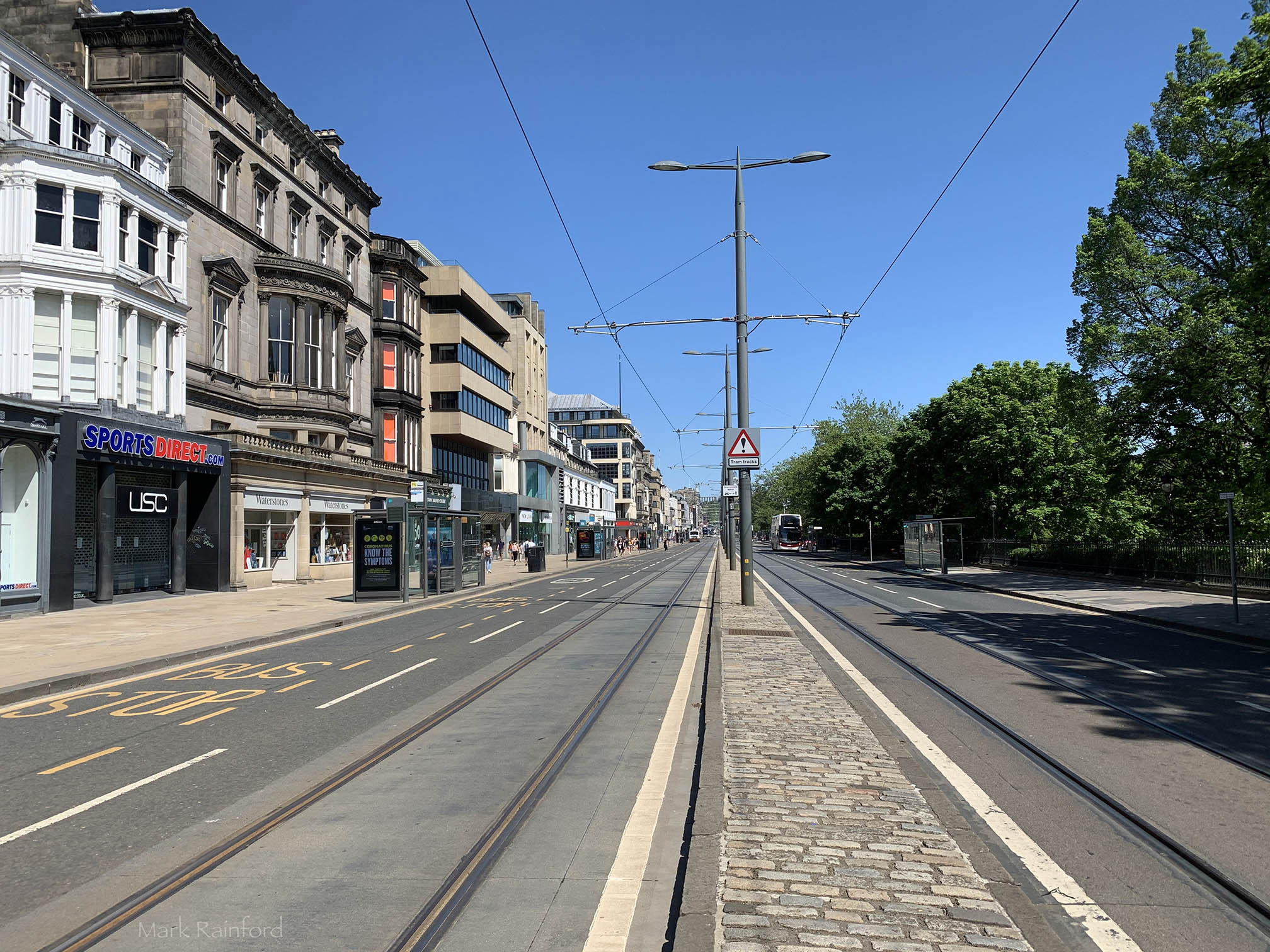
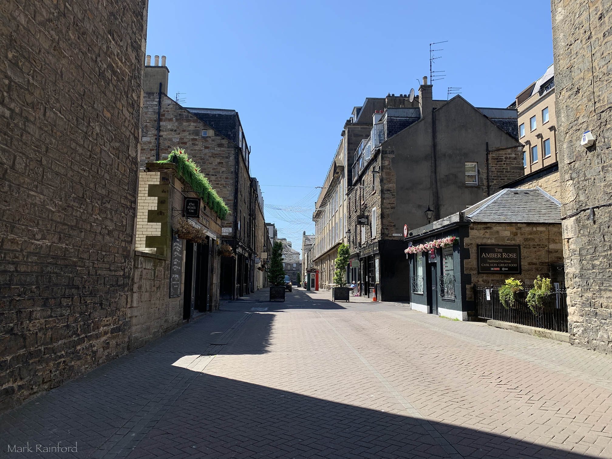
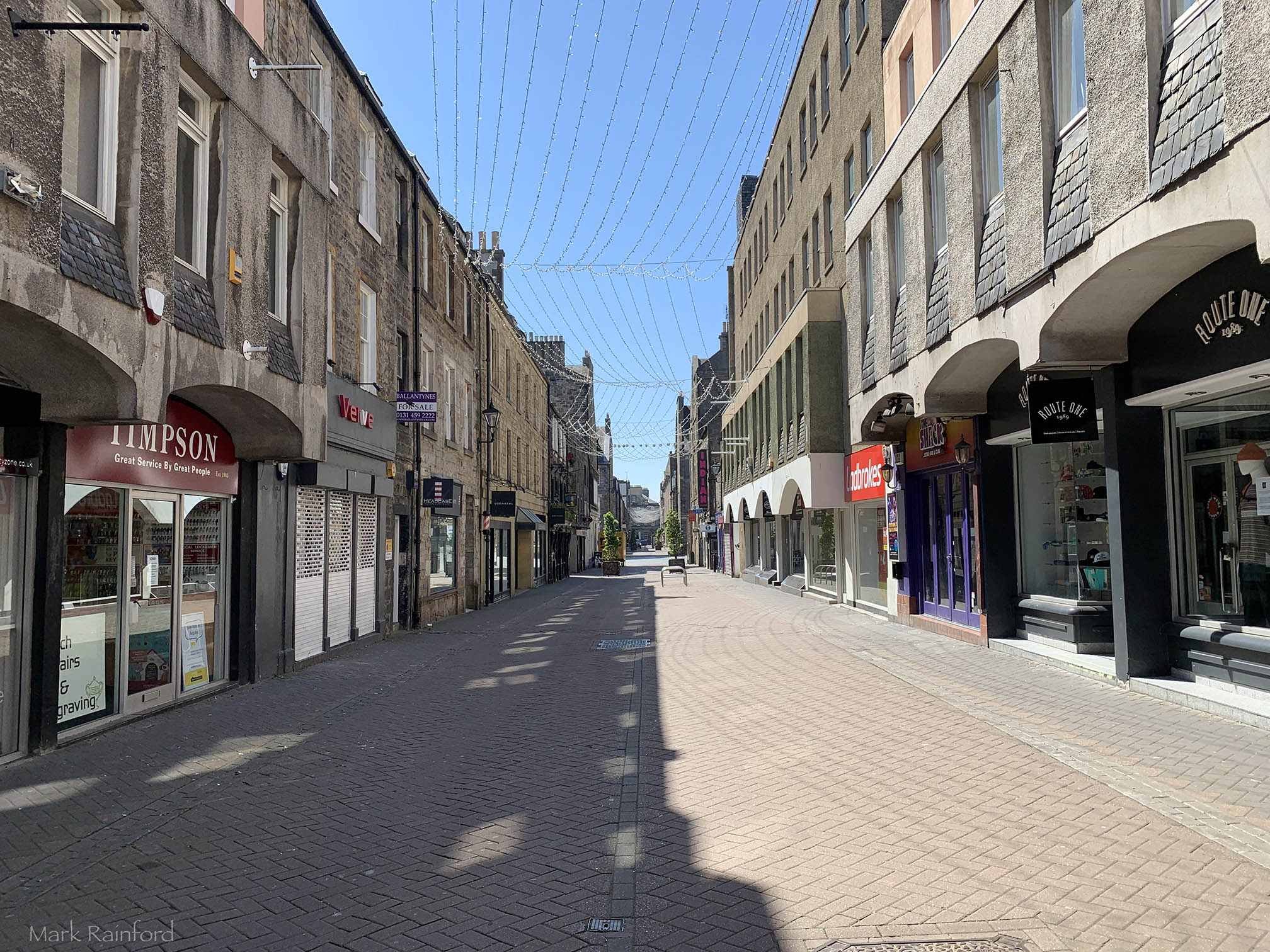
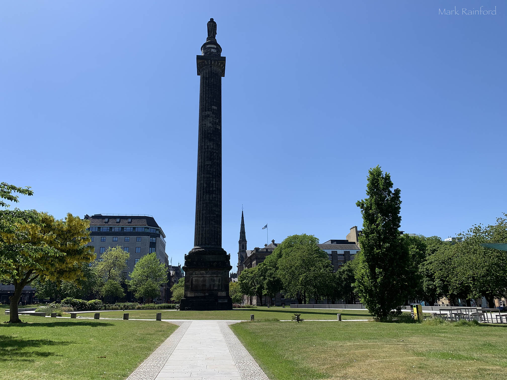
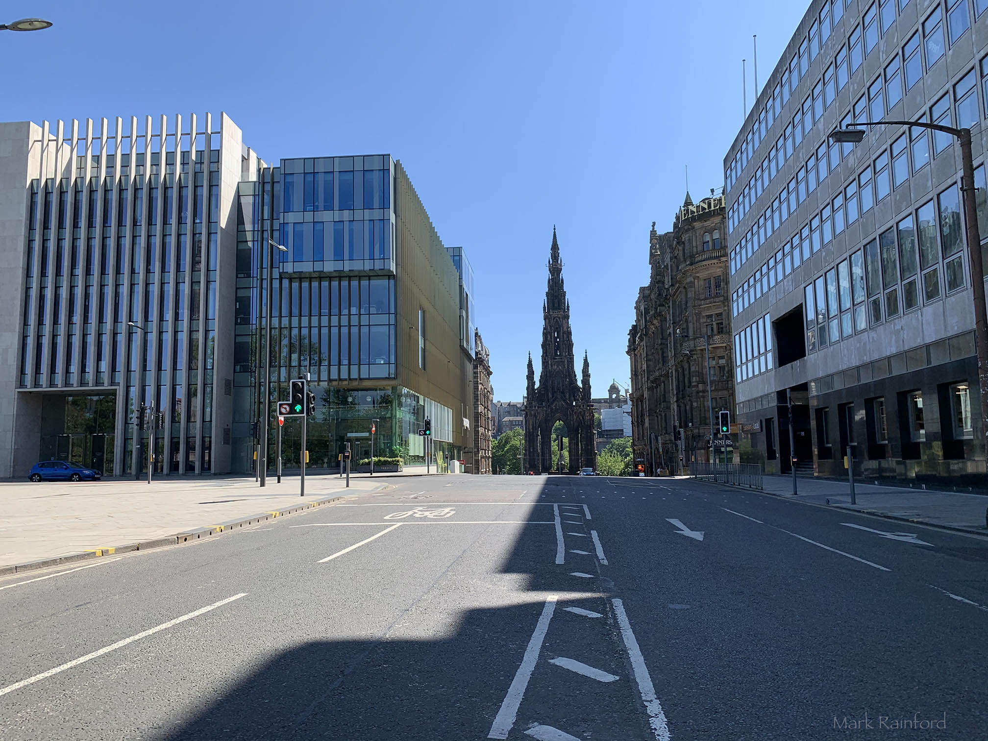
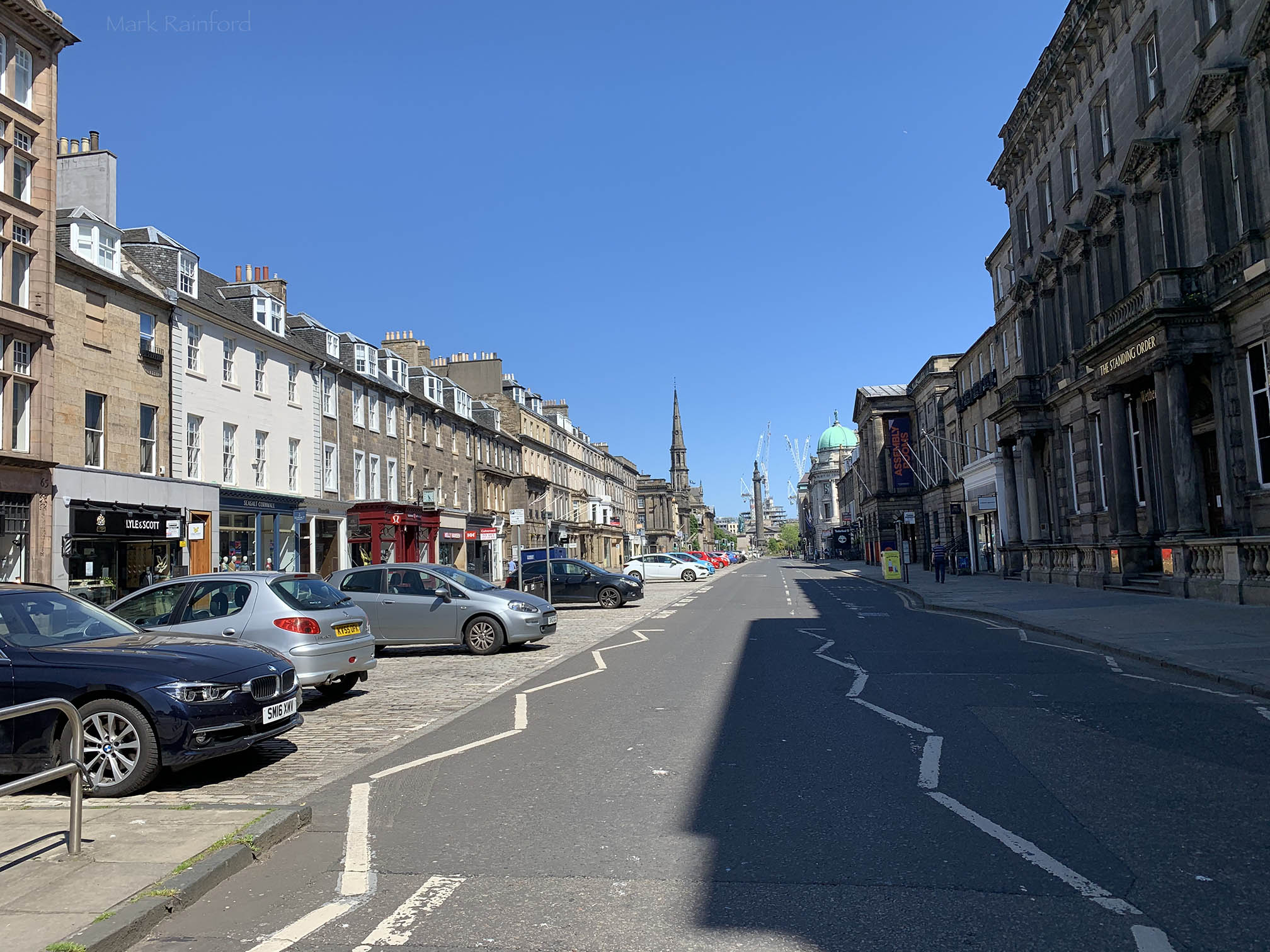
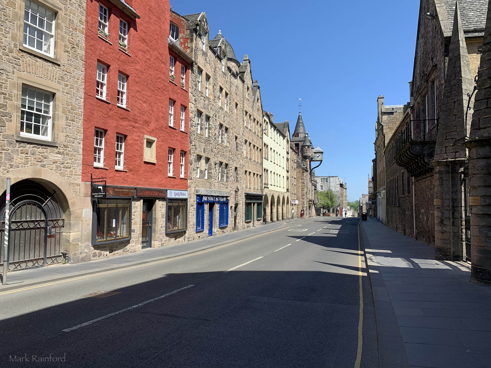
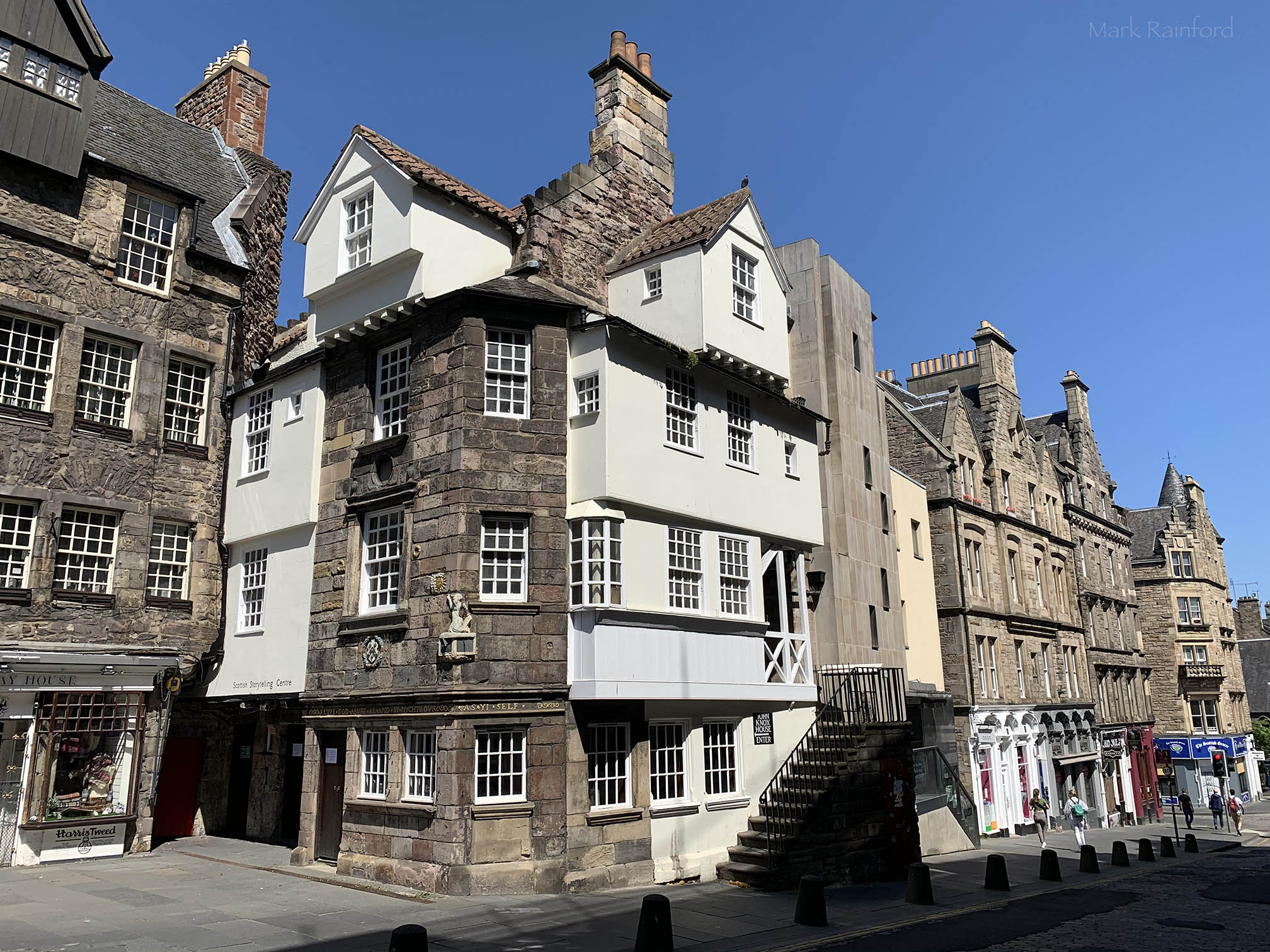
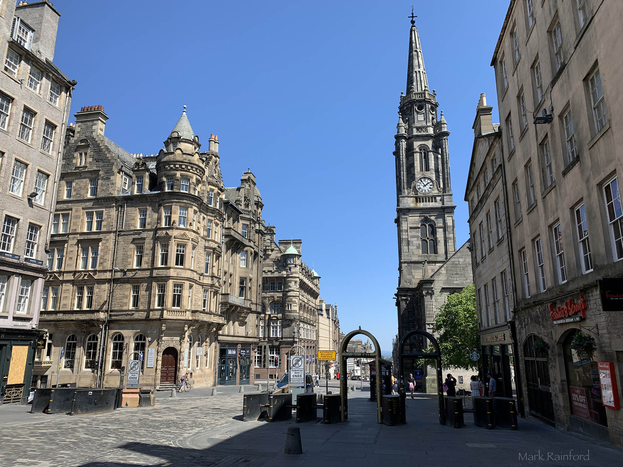
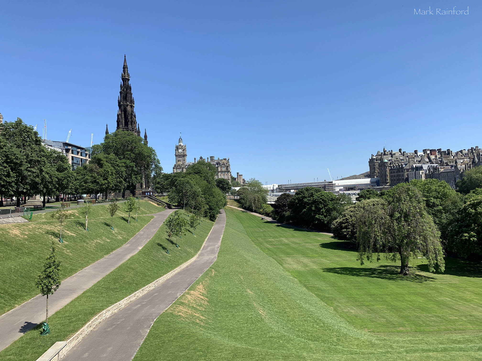
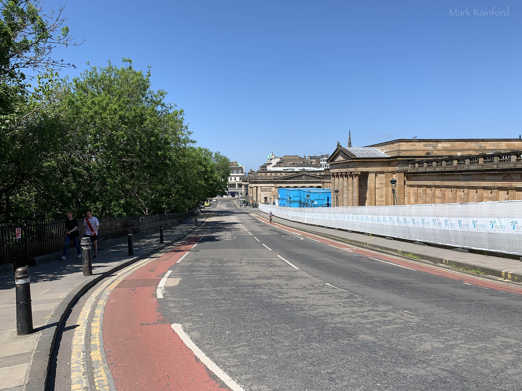
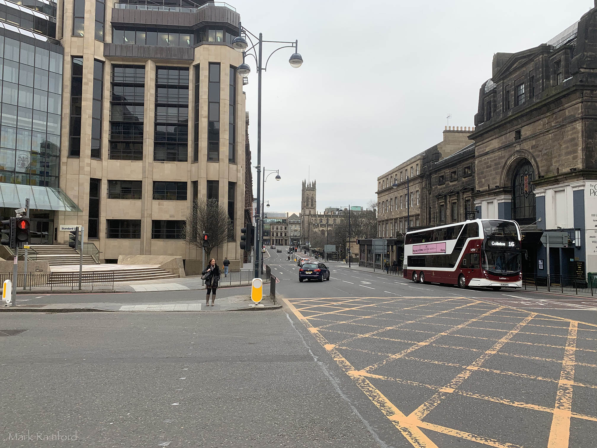
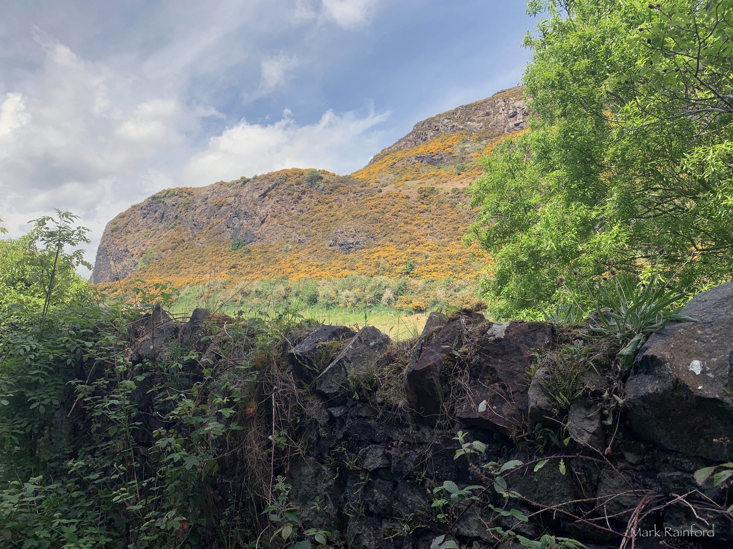
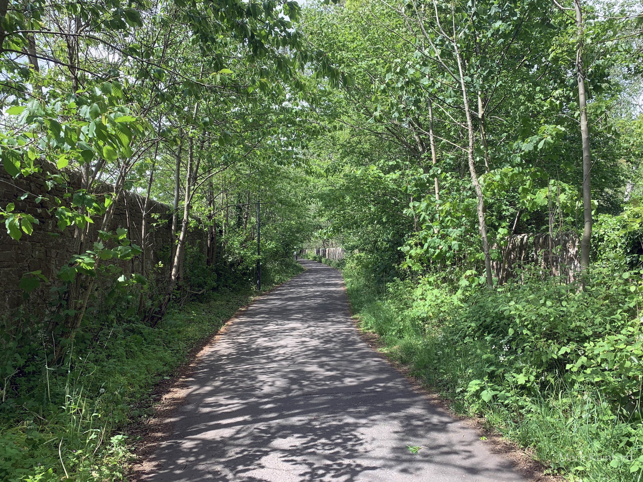
As we slowly emerge from lock down, some restrictions are eased I managed to get a wee wander around the city. Still very quiet, very eerie, it seems somewhat Post-apocalyptic, yes one should stop being so melodramatic.
Most of the photos were taken on a Sunday afternoon, this would never be possible in normal circumstances.


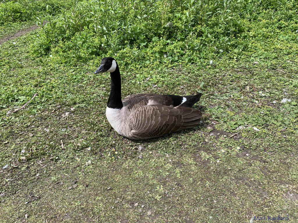
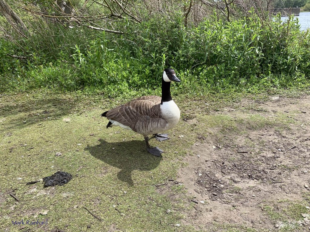
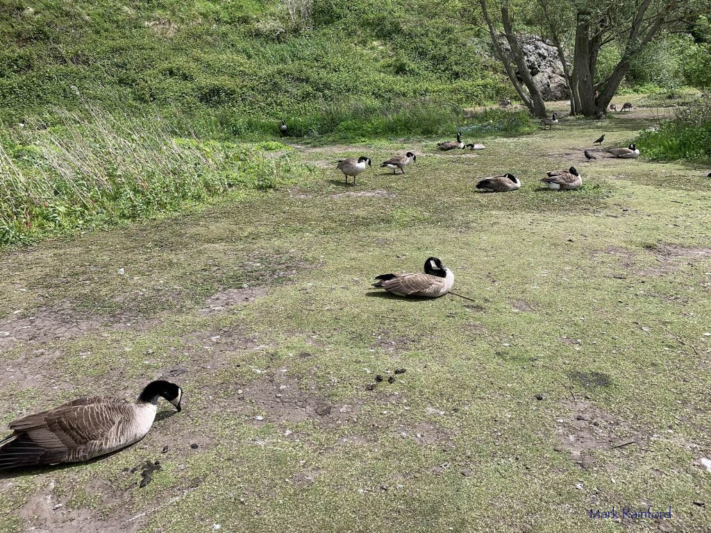
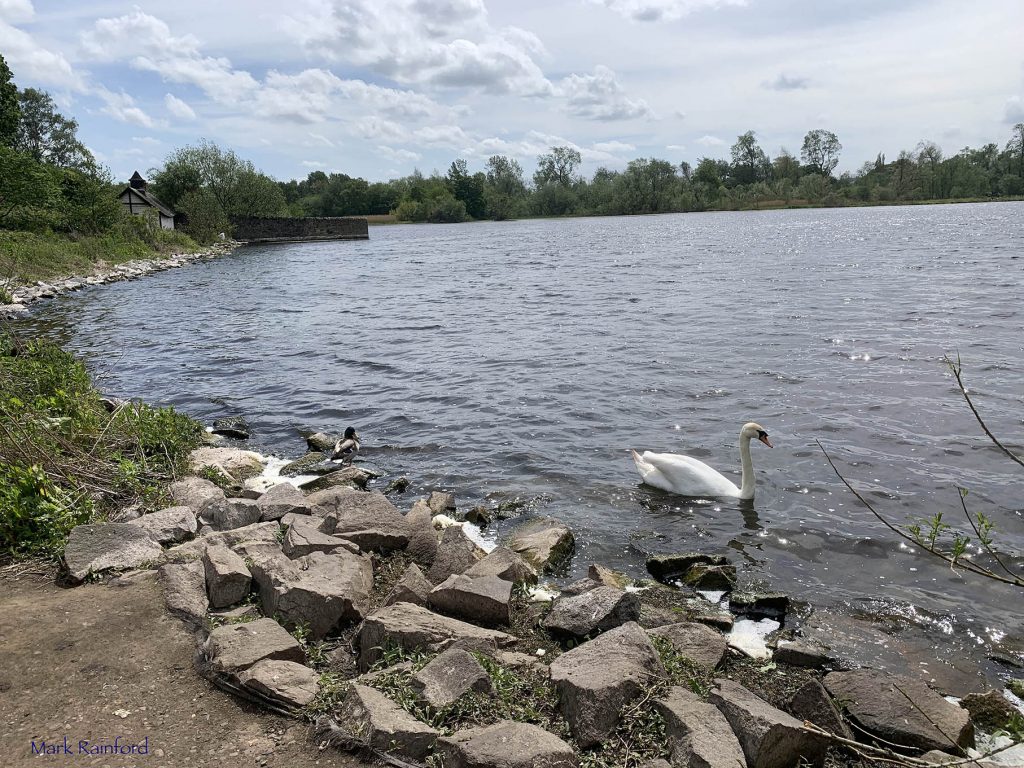
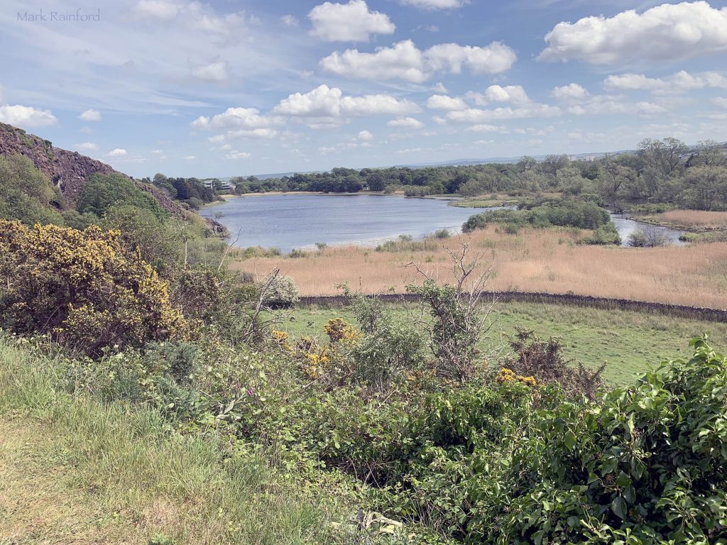
Duddingston Loch, the last natural freshwater loch in the City of Edinburgh
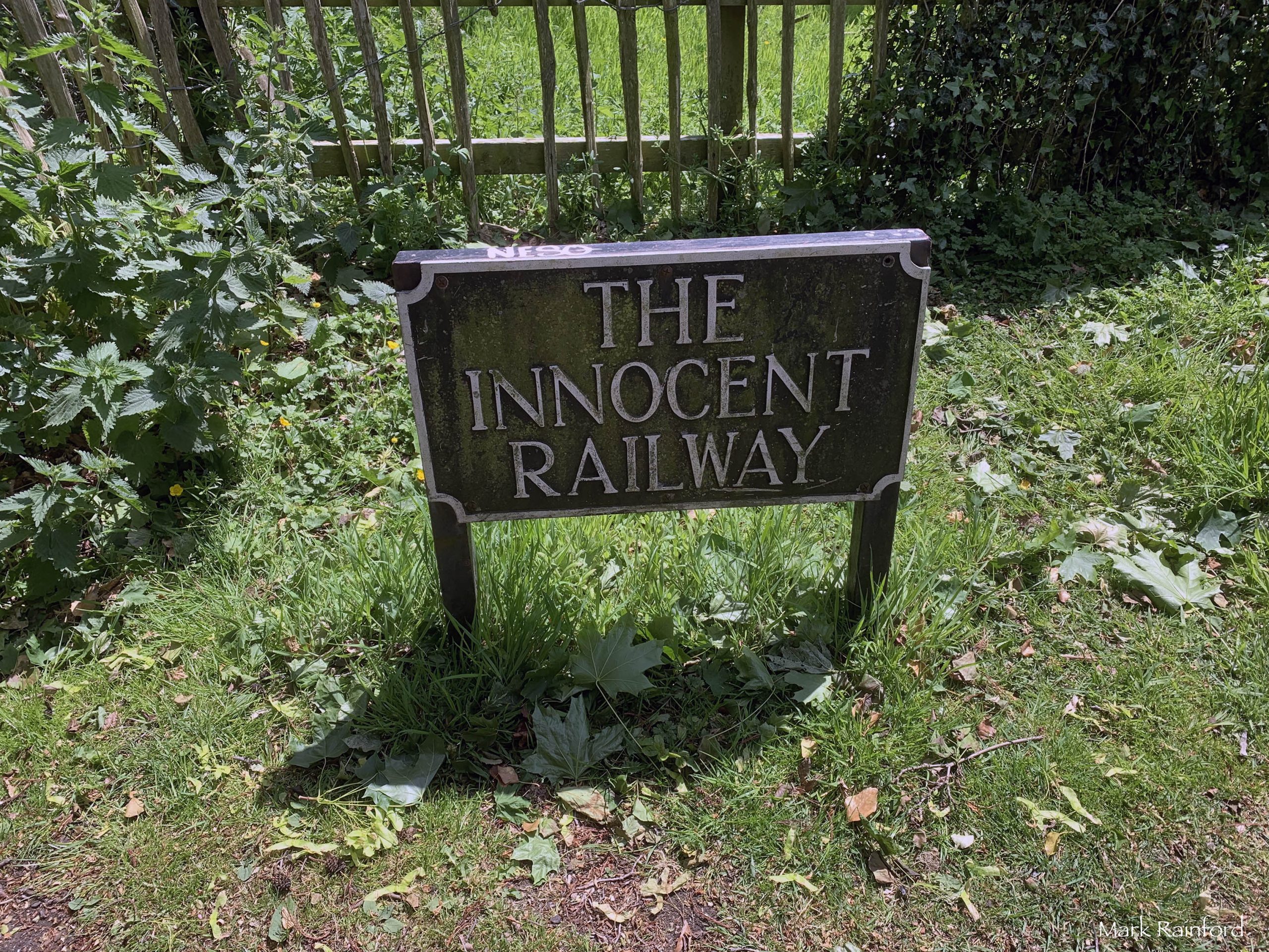
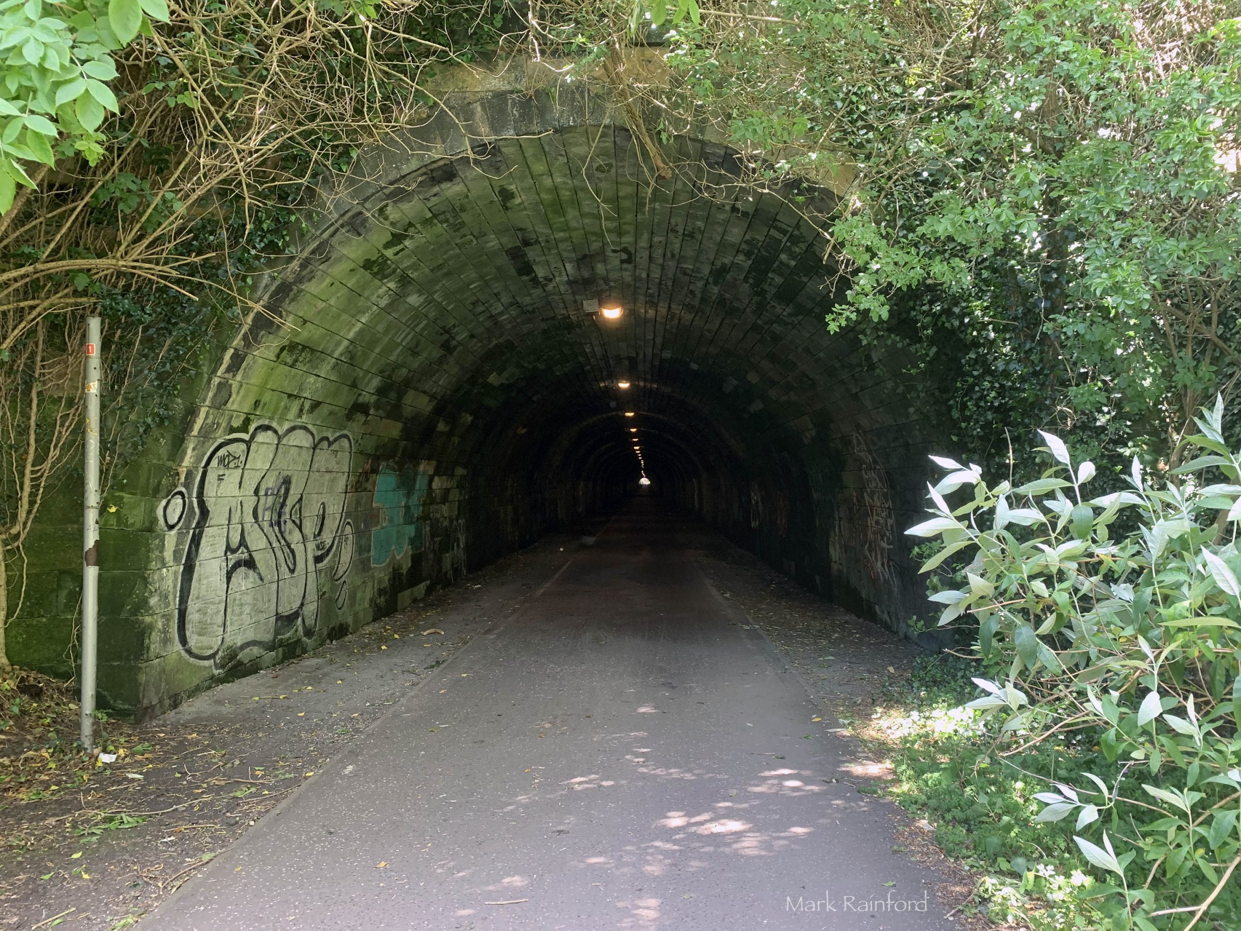
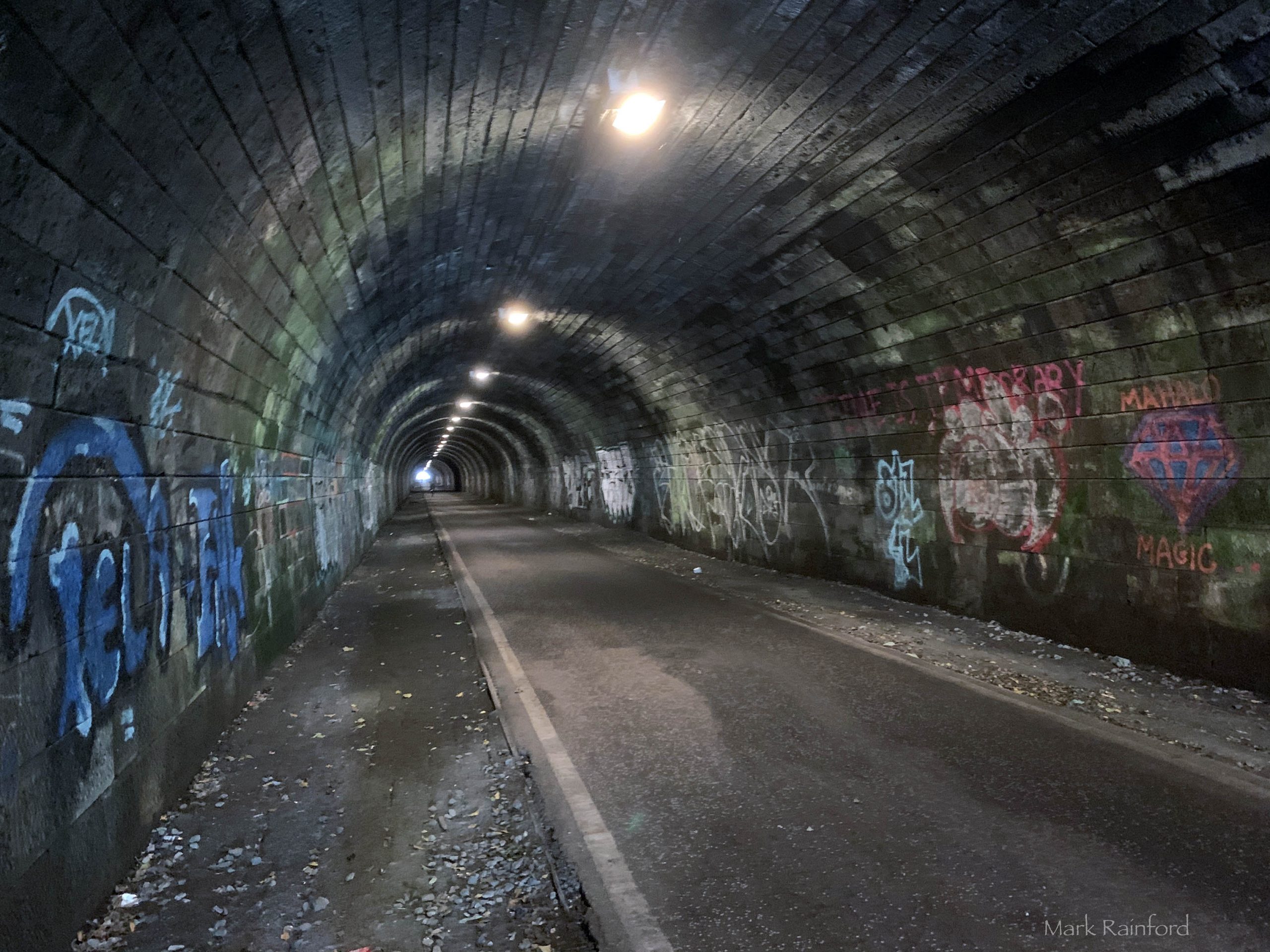
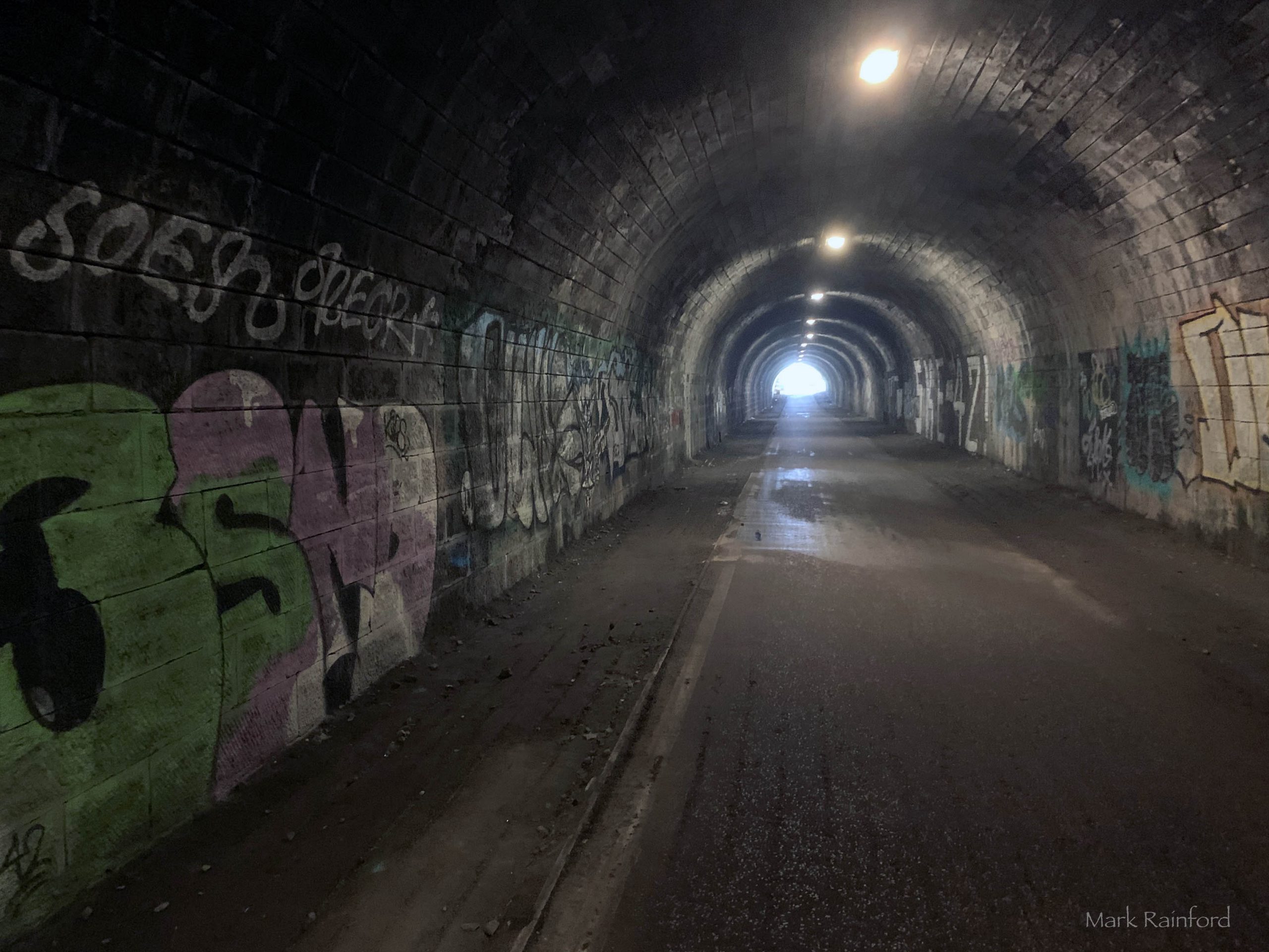
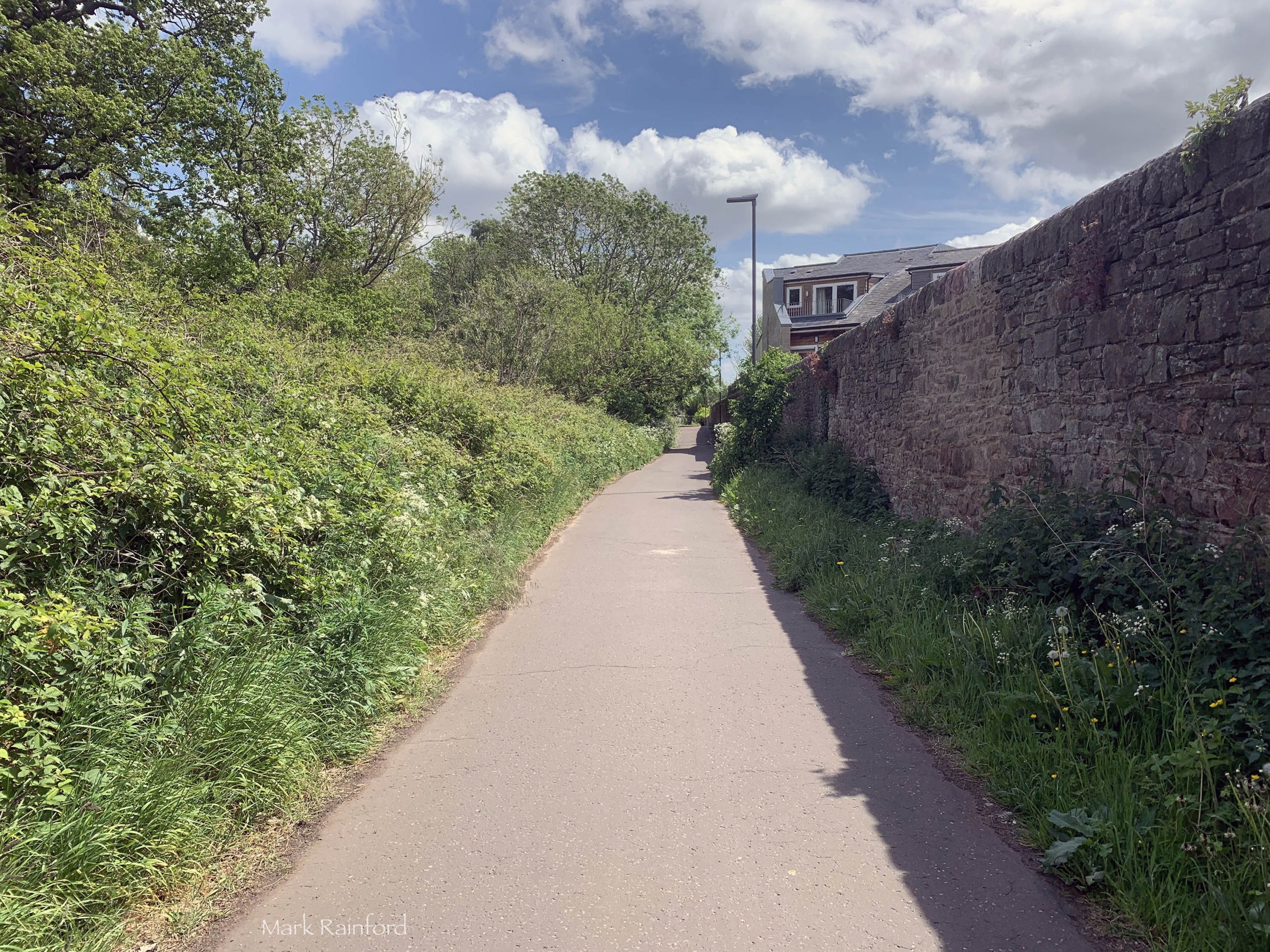
The Innocent Railway, opened in 1831 for the purpose of transporting coal from Dalkeith to Edinburgh. Called the Innocent Railway Path as it was originally horse-drawn in a time where steam dangerous were though of as dangerous.

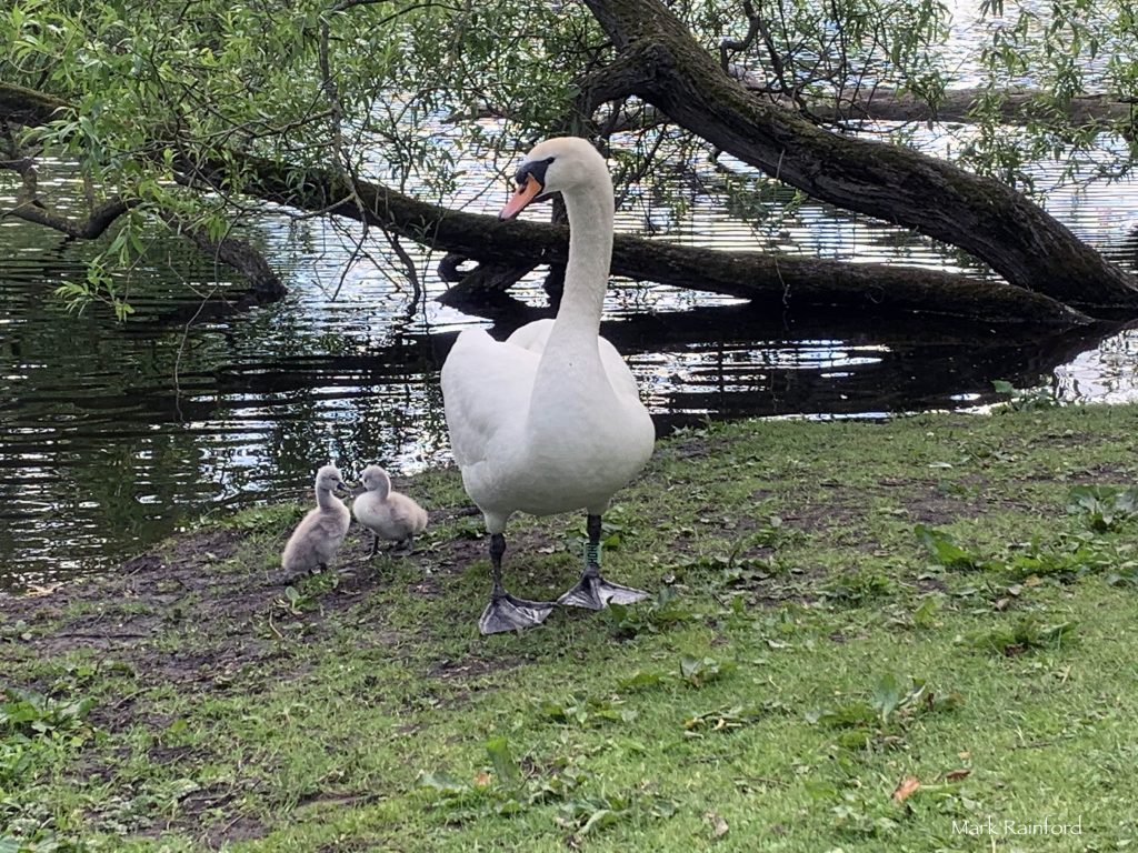
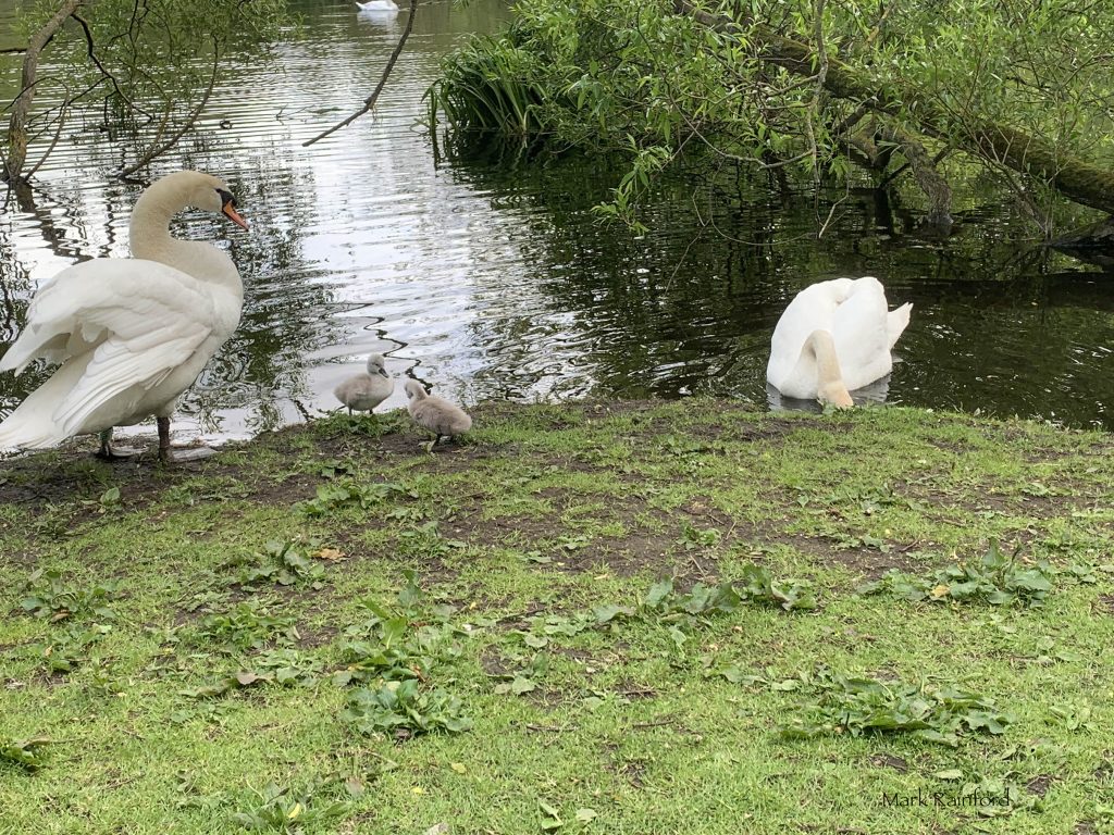
Swans and their wee Cygnets in Figgate Park, Edinburgh

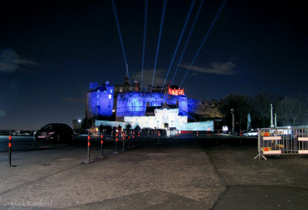
Uploaded some photos from the Edinburgh Castle of light – Gallery
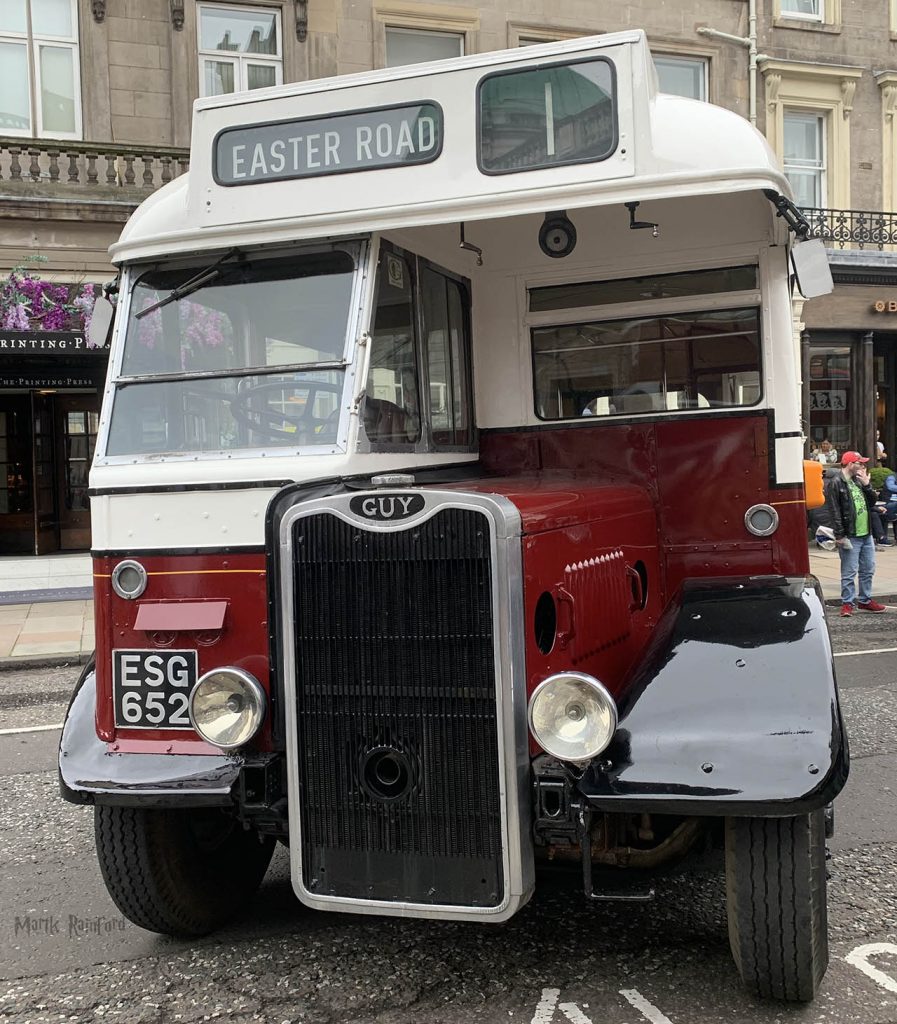
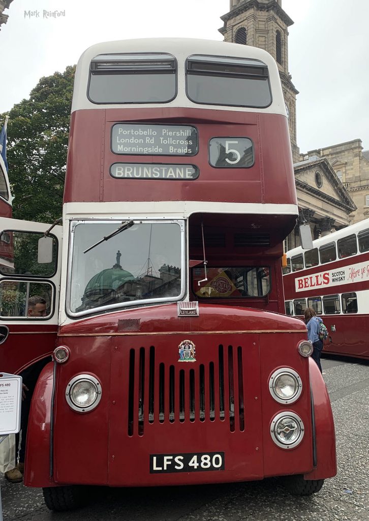
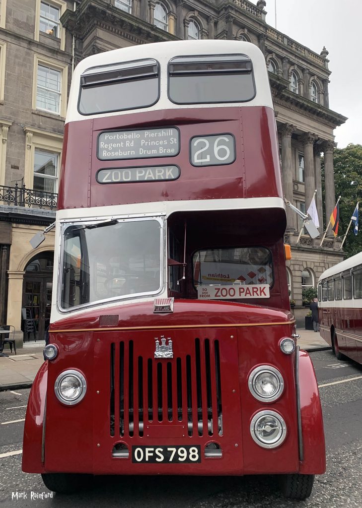
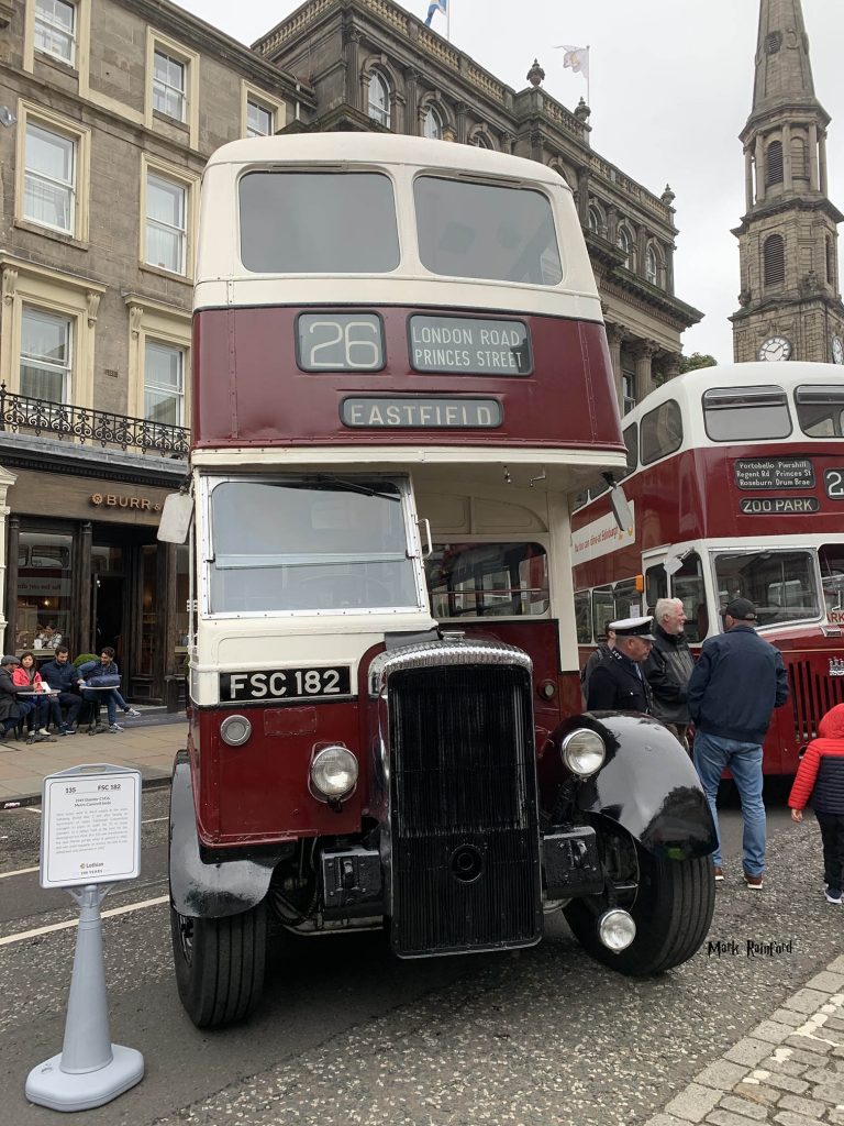
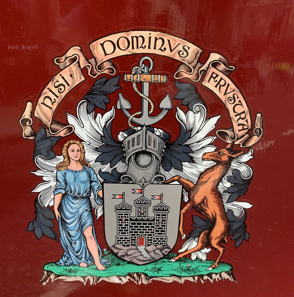
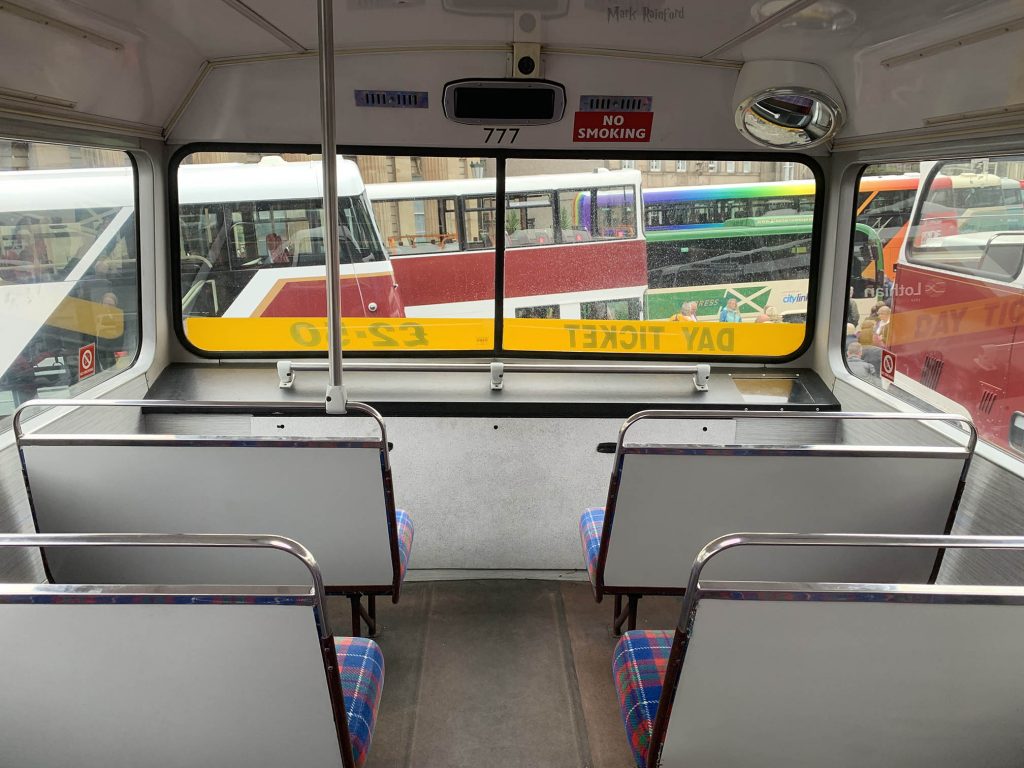
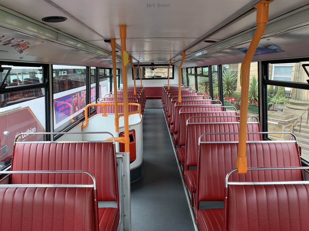
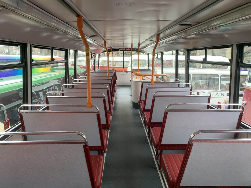
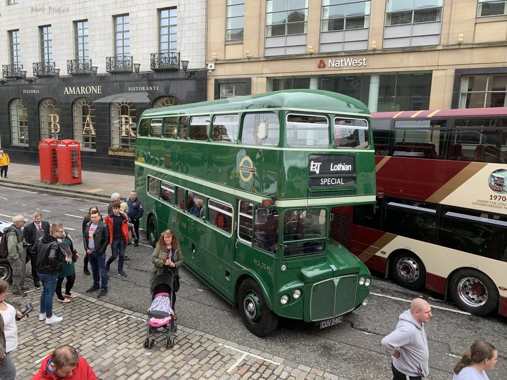
As part of the Doors open day 2019, as usual Lothian buses displayed some of their vintage buses on George street. Seeing some of the Madder/Maroon livery interiors one had a tang of nostalgia, below a small gallery of photos.
It’s the last Monday of August, so it’s the Usual Virgin Money Fireworks Concert, this year from Inverleith Park
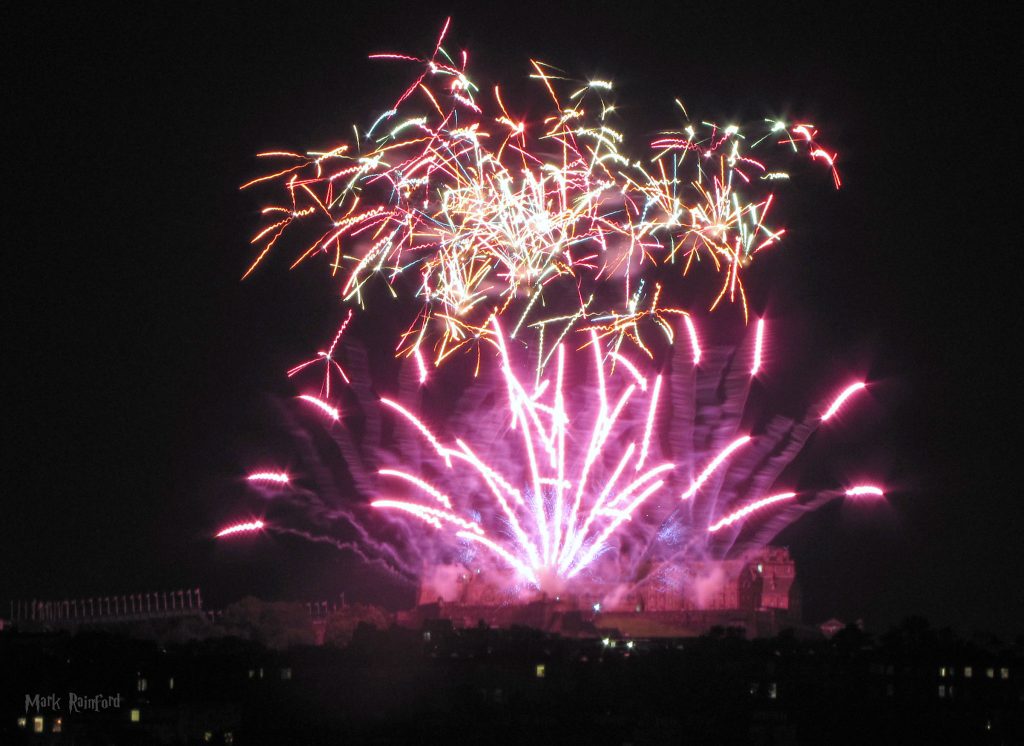
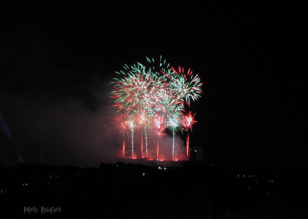
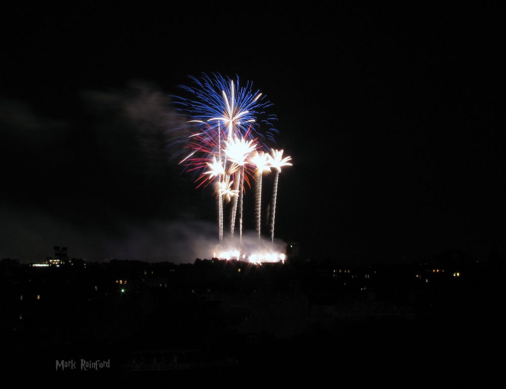
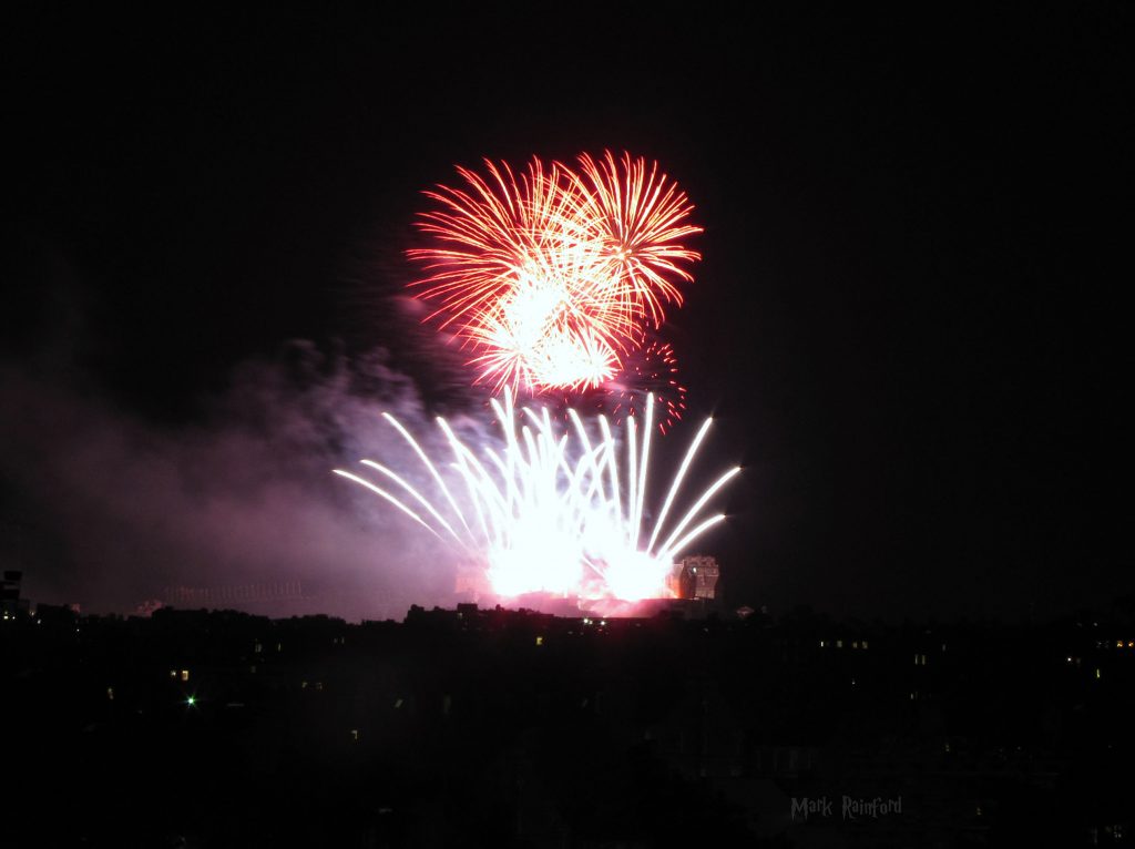
The full album link
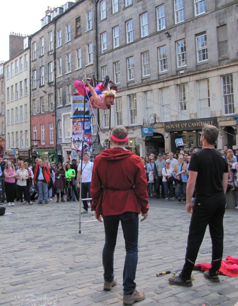
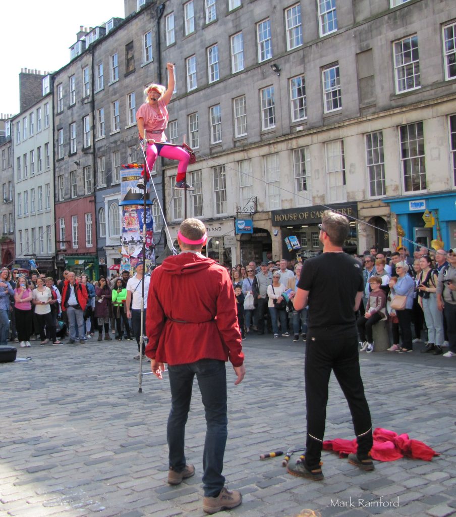
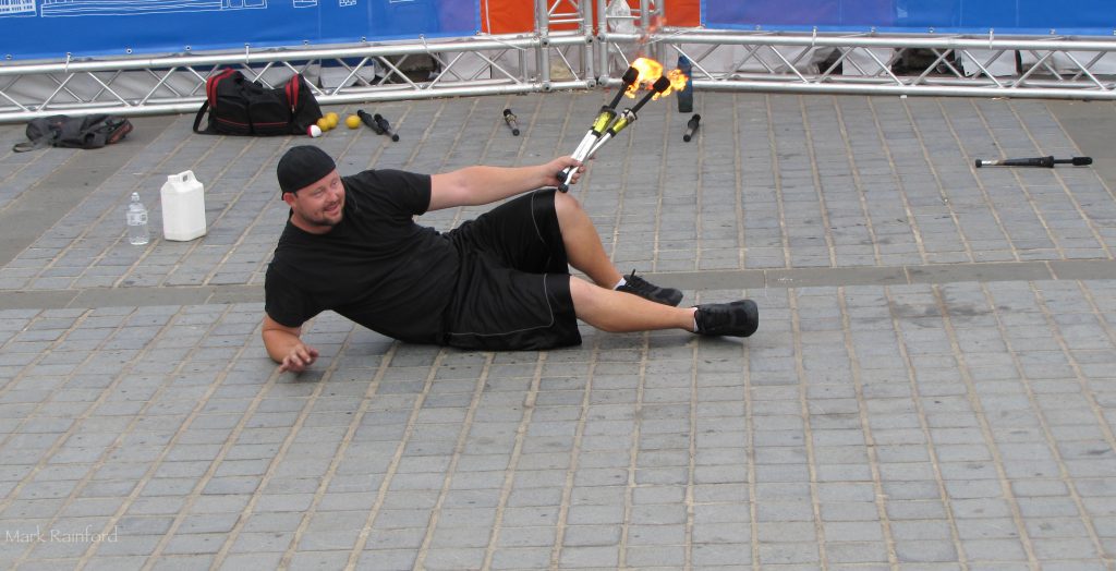
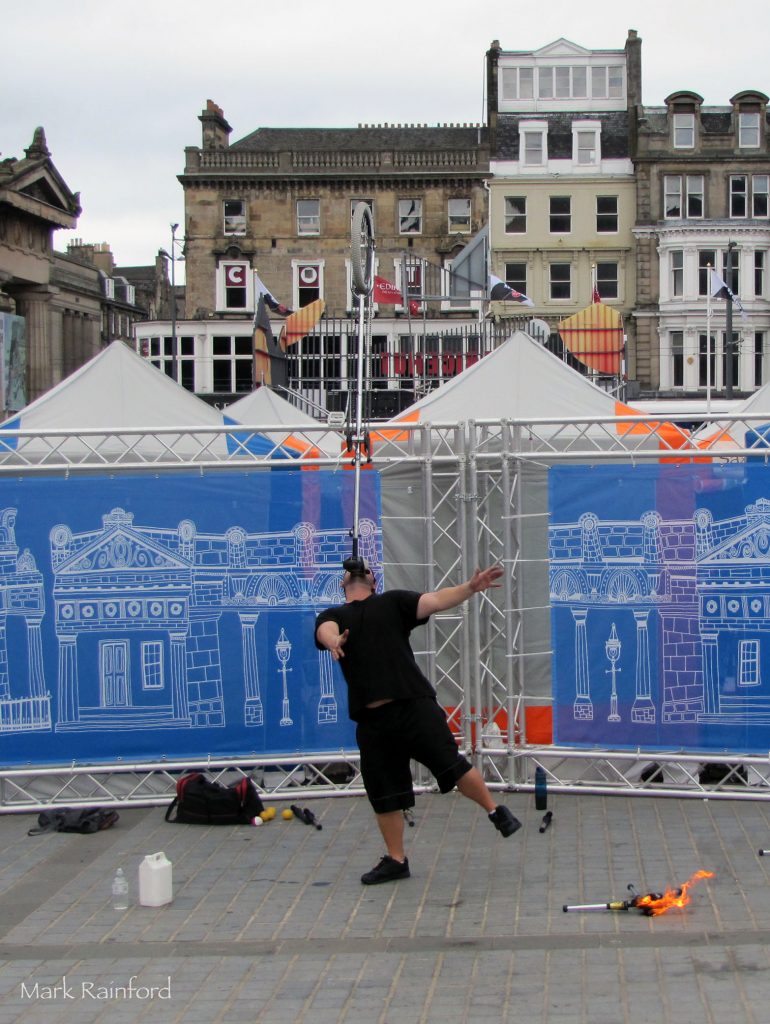
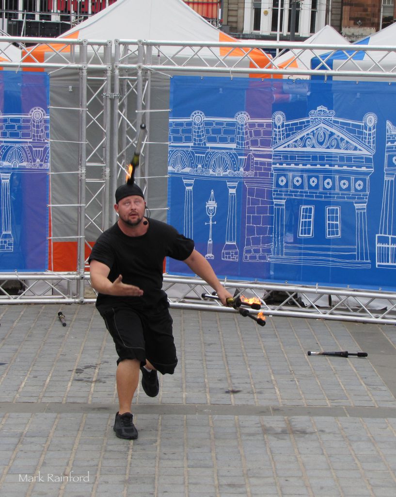
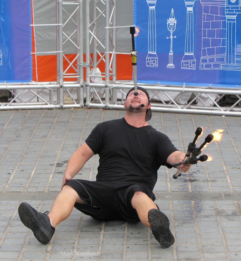
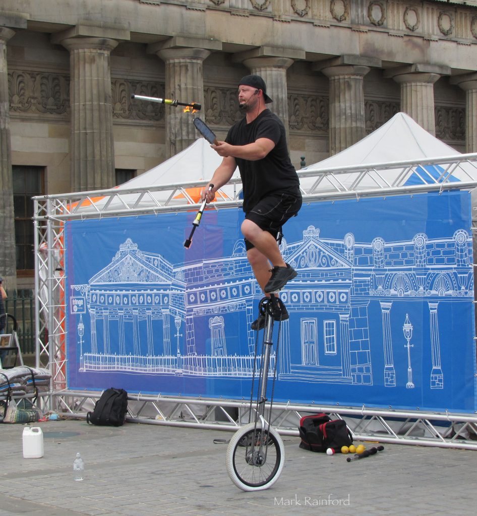
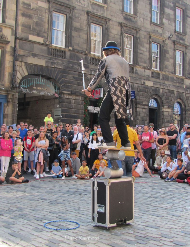
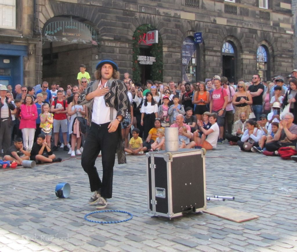
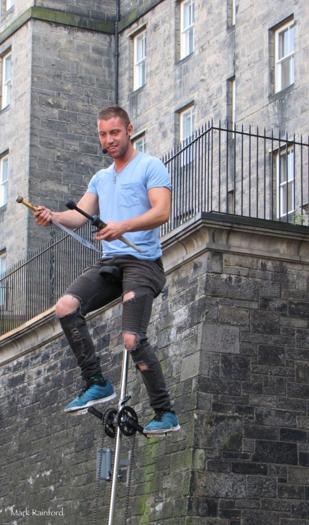
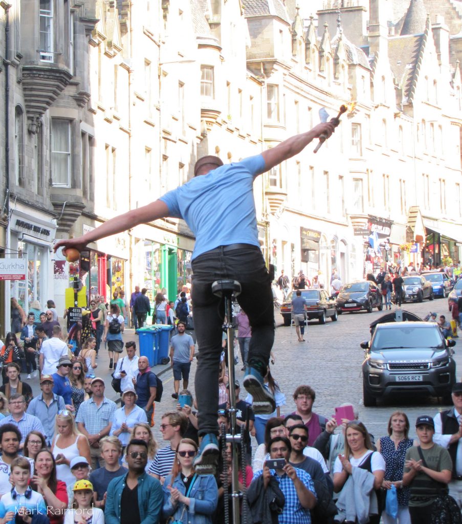
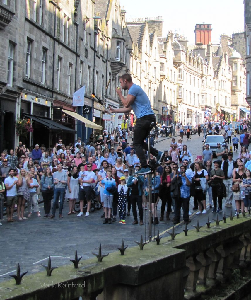
Unless I see something special tomorrow, this is the final post of the Edinburgh Festival street performers for 2019 – part 10! Taken 22nd August and 25th August.. past 10 posts, over 100 Photos.